Overview
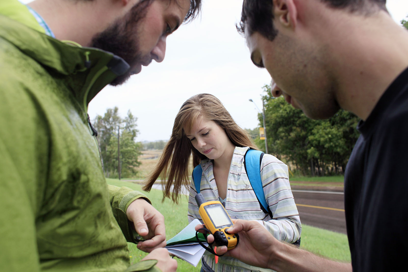
Geocomputing gives students expertise to study and understand spatial dimensions of social and environmental problems.
At a Glance
Curriculum
Why study geocomputing at Mount Allison?
At Mount Allison, Geocomputing offers students a unique way to combine geographical and environmental skills with training in computer science — offering students a new way to look at the world.
The program gives students expertise to study and understand spatial dimensions of social and environmental problems such as minimizing environmental impacts and identifying critical habitat.
Geocomputing is available as:
- BA joint major (87 credits)
Not sure about the difference between a major, a minor, an honours, and a certificate?
Program highlights
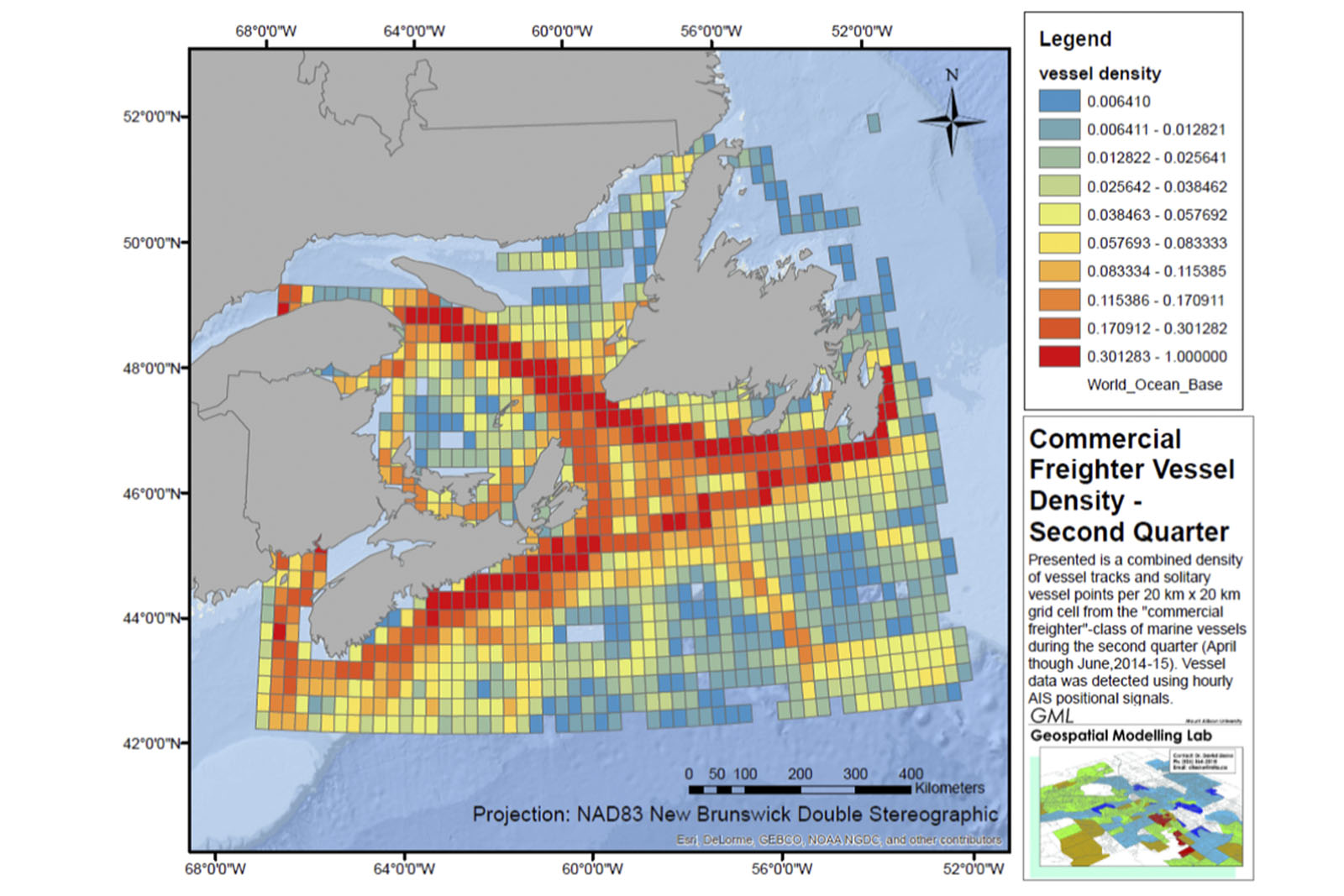
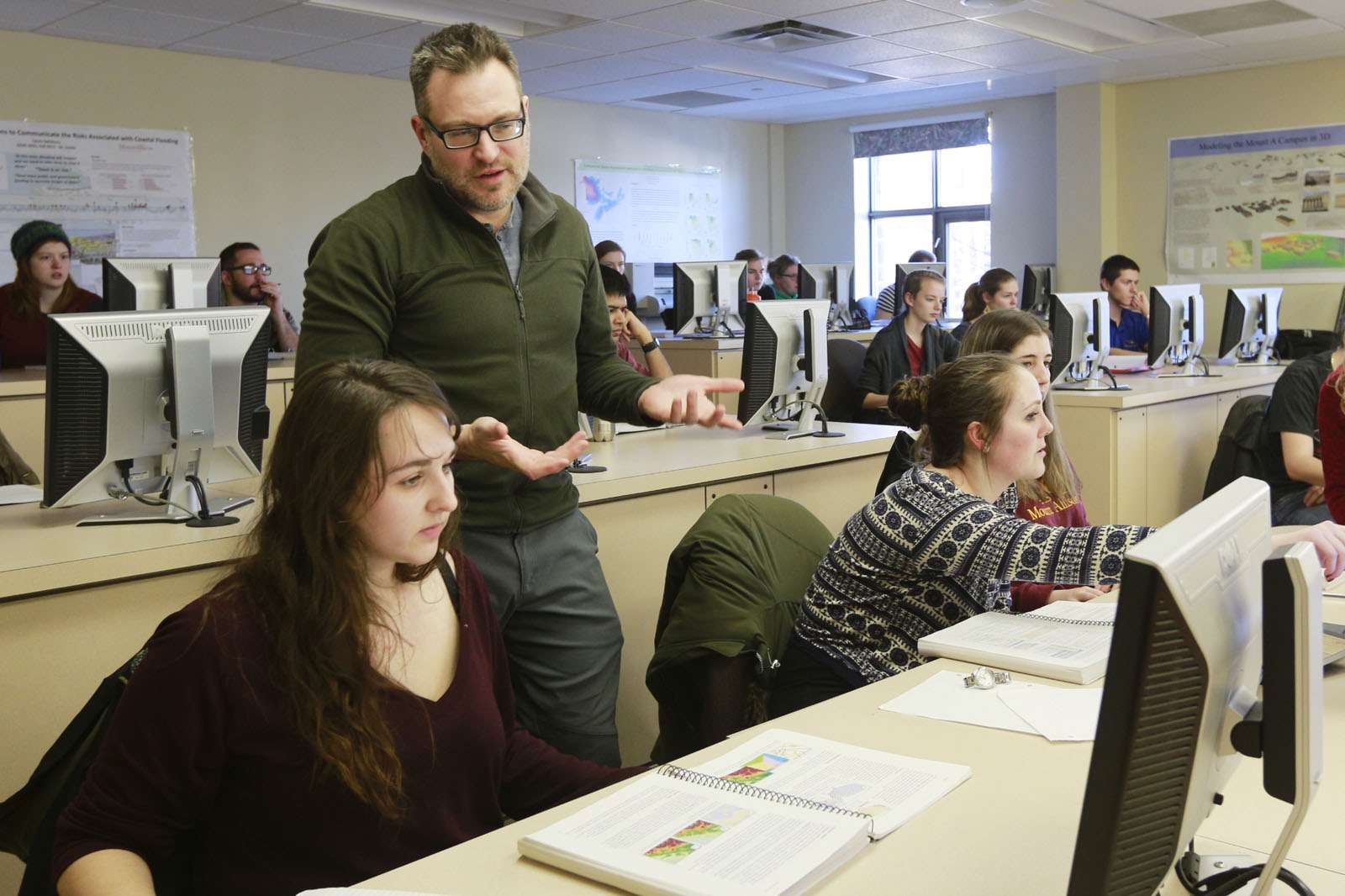
Geospatial Modelling Lab
The Geospatial Modelling Lab (GML) facilitates spatial analysis and modelling that can be applied to assist environmental monitoring, mapping and conservation planning. Students have the opportunity to work in this lab as research assistants.
GIS Lab
Our geographic information systems (GIS) computing lab provides a teaching lab and research space for faculty and students. It supports a range of GIS software used by researchers and industry.
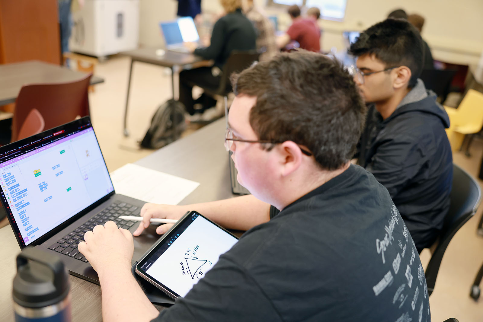
Students in Geocomputing take courses in computer science, environmental science, and environmental studies, with spatial computing (geographic information systems) at the heart.
In Computer Science, you'll look at subjects like:
- programming techniques
- algorithms
- discrete structures
- data structures
- database systems
- object-oriented design and methodology
- computers and society
In Environment and Geography, you'll look at subjects like:
- geographic information systems (GIS)
- the physical environment
- the human environment
- data analysis
- resources management and environmental policies
In their final year, students complete an applied capstone project that integrates both fields.
GENS 2441 — Geographic Information Systems
This course surveys several aspects of traditional cartography, examines one or more Geographic Information Systems, and explores the role of maps in conveying geographic information. (Format: Lecture/Laboratory 3 Hours)
GENS 1401 — The Physical Environment
This course introduces the general principles of Physical Geography and the Environment, emphasizing the physical world at a variety of spatial and temporal scales. This course introduces the four fundamental spheres of Physical Geography: the hydrosphere, lithosphere, atmosphere and biosphere. It examines basic processes in the physical environment such as the seasons, layers of the atmosphere, the earth's energy budget and interactions with atmospheric processes. It also investigates weather and its interplay within the hydrological cycle, the fundamentals of climatology, the three basic rock types, tectonic activity and weathering of the earth's surface.
GENV 1201 — The Human Environment
This course introduces the study of the human population and the spatial dimensions of environmental change. It examines how people interact with the environment and the core forces which shape these interactions, including population, culture, technology, and geography.
GENS 2431 — Data Analysis
This course develops basic skills in data collection, analysis, and presentation. It introduces basic statistical and hypothesis testing procedures, along with relevant software. (Format: Lecture/Laboratory 3 Hours)
COMP 1731 — Programming Techniques and Algorithms
This course introduces program design techniques and algorithmic thinking using a high-level computer programming language. Topics include: fundamental control structures, elementary data structures, code reuse, basic algorithms, and debugging and testing. (Format: Lecture 3 Hours, Laboratory 3 Hours)
COMP 3721 — Object-Oriented Design and Methodology
This course continues the introduction to object-oriented programming in earlier courses, emphasizing further development of algorithms, data structures, software engineering, and the social context of computing. (Format: Lecture 3 Hours, Laboratory 3 Hours)
COMP 3811 — Database Systems
This course introduces the major types of database systems and provides experience with at least one database model. It emphasizes the theoretical and practical aspects of the relational model, including database query systems and database design.
Explore all Computer Science courses

Faculty Spotlight
Dr. Michael Cormier
Associate professor, Mathematics and Computer Science
What can I do with a geocomputing degree?
Through hands-on learning, faculty-supervised research, and close mentorship, students gain practical skills and critical thinking abilities to address today’s most pressing environmental and social issues.
Recognized by Maclean’s as Canada’s top undergraduate university, Mount Allison’s strong academic reputation helps graduates stand out as they pursue diverse career paths.
Many go on to graduate studies in computer programming, geography, and data science, while others move directly into careers in geographic information systems (GIS) and data analysis, software development, environmental management, and beyond.
Popular career paths for Geocomputing graduates include:
- computer programmer
- geospatial database administrator
- spatial web/application developer
- GIS/GPS analyst
- image analysis using remote sensing products
- computer mapping and software developer
- cartographer
/current-students/department-mathematics-and-computer-science
What are my admission requirements?
What other programs are related to geocomputing?
Geography
Geography is the study of places, exploring both the physical features of the earth and the relationship between people and their environments.
Computer Science
Computer Science includes the analysis of algorithms, the study of computer architectures, operating systems, networks, and software design.
Geographic Information Systems
GIS uses the application of computer models to represent spatial features on the earth's surface.