GIS involves the application of computing science to understand spatial patterns. It encompasses navigation, map making, modelling, and computer graphics.
Program description
This program involves the study and application of computer models to represent features on the earth’s surface, map making (cartography), and the analysis of spatial patterns and relationships.
According to P&S Market Research, the global GIS market has been growing at 11% from 2015-2020. Mount Allison graduates who study GIS are well placed to be part of this industry's growth, whether it involves working in government, industry, or research.
GIS allows us to make sense of spatial information, whether it involve wildlife habitat, human health, climate change, or community land use. It allows us to see spatial patterns, and to explore the forces influencing those patterns.
Program advisor
Degree options and courses
The Department of Geography and Environment offers a BA minor or BSc minor in GIS.
The two key courses are: Geographic Information Systems (GENS 2441) and Advanced Geographic Information Systems (GENS 4721).
For more information on the other courses required for these programs, see the Academic Calendar.
Not all courses are offered annually so students need to pay careful attention to the planned patterns of course rotation and to seek advice from the Department as needed.
To keep track of the courses you have taken, it is useful to fill in a degree audit form.
Facilities
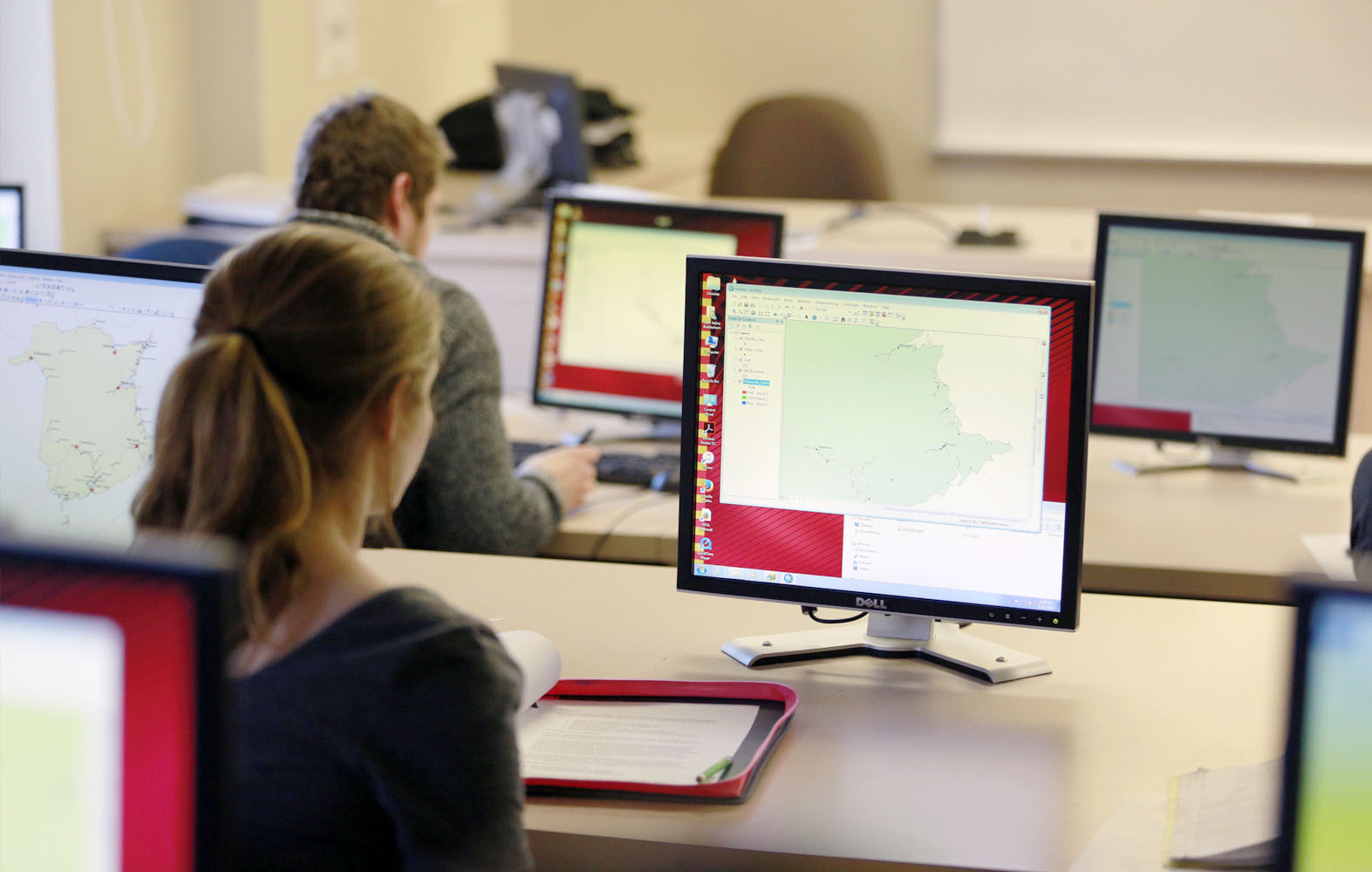
GIS Lab AVDX 115
Our general GIS laboratory space equipped with 24 computers licensed to run ESRI ArcGIS software.
GML Lab
The GML Lab is a specialized GIS laboratory running ESRI GIS software which focuses on geo-spatial modelling, GIS processing and geovisualization. Directed by Dr. David Lieske.
GPS equipment
Handheld and high-precision differential GPS.
G&E Research Commons
A shared departmental space where we can meet, plan and research.
Nature
In GIS we always spend time learning and collecting spatial data outside in Sackville, around the Bay of Fundy, throughout the Maritimes, and beyond.
Urban environment
In GIS we often spend time learning and collecting spatial data in our communities like Sackville, other Maritime cities, and beyond.