
Getting real-world experience with geography student Carmen Bollhorn: Summer Internship Series
What did your internship this summer look like day to day with Tantramar?
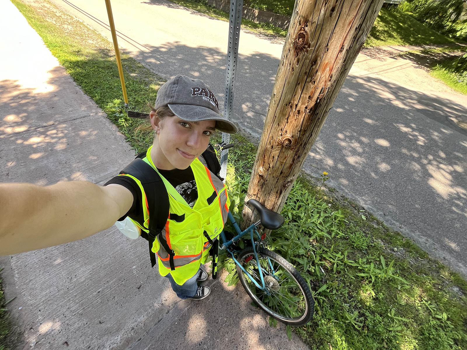
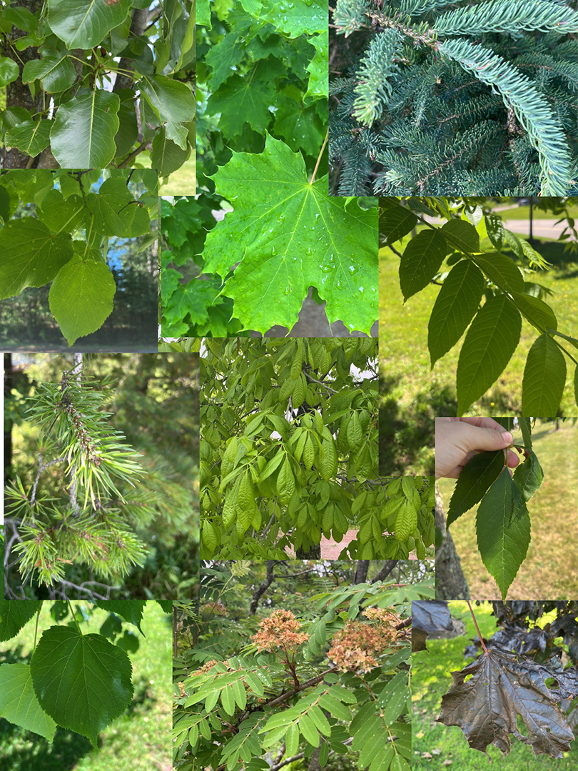
Over the course of my internship, my days have looked quite different. The first month of my internship involved flipping through tree identification books to become accustomed with different tree species, learning how to take tree measurements, and coordinating how I would collect GPS data. I also spent time making publication layouts and working on a nature tourism and tree appreciation program called Tantramar’s Terrific Trees. The past two months of my internship involved the mapping portion of my job. I biked around Sackville and Dorchester collecting various data and GPS coordinates of Tantramar's publicly owned street trees. I have used the data to produce a tree inventory map within a GIS platform called ArcGIS online. I plan on analyzing this data to produce a final tree report to inform the municipality about the spatial relationships between tree health, age, and species.
How did this internship idea come about?
The internship came out of the necessity of the Municipality to have an inventory of the street trees that were municipally owned. Knowledge of where publicly owned trees are, their health, and utility conflicts can mean that issues can be predicted and prevented. An inventory of where current trees are can also inform urban reforesting initiatives that could be undertaken in the future.
What are the most important skillsets you will take away from this experience?
As an extremely independent and self-driven position, I have taken away good self management and adaptability skills. I have developed my capacity to work alone, which involved the planning of, carrying out, and taking full accountability for my work. Adaptability involved moving between different roles depending on what help was needed. Additionally, I have taken away a variety of different hard skills in the realm of tree identification, GPS device usage, and mapping software application.
How has this internship experience helped prepare you for your career path?
This internship has expanded my interest in environmental and GIS work. It has broadened my horizons by showing me how much I enjoy working outdoors, more so if it involves lots of exercise. From the hard skills I have developed within this internship, I have considered mapping in the conservation or natural resource management sectors that could maybe allow for indoor and outdoor work. The tourism programming and aiding in event execution has also inspired me to look into the environmental communications field more. There is a large intersection between communications, conservation, and environmental policy that could be interesting to explore in a career.
What’s next after Mount Allison?
I may pursue a master’s in geomatics or geography after I graduate to break into the GIS, environmental science, or environmental policy fields. As a committed lifelong learner, through a master’s degree or work I would like to continue to expand my knowledge of the world around me and the intriguing relationships between people and their environments that the field of geography so widely and deeply explores. Sharing the cool things I have learned by becoming a teacher could be a path I would also like to pursue. I would love to help cultivate the next generation's curiosity and environmental consciousness.